Two Milton homes can look nearly identical in square footage and finishes, yet close hundreds of thousands of dollars apart. If you have wondered why, you are not alone. In Milton, acreage and zoning often explain more of a home’s value than what you see inside the front door. In this guide, you will learn how lot size, AG‑1 rules, form‑based corridors, and conservation programs shape price, plus a simple checklist you can use before you buy or sell. Let’s dive in.
Why similar homes sell so differently
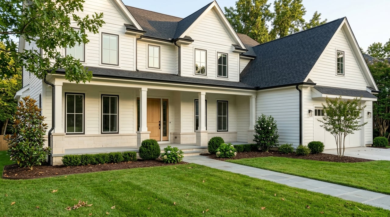
Two 4,000‑square‑foot homes can live very differently on the ground. One might sit on a 1‑acre lot in a corridor where future mixed use is possible. The other might rest on 5 private acres with equestrian potential and a low‑tax conservation covenant. The market and appraisers separate the land from the improvements, so the site’s best use, subdivision potential, and holding costs can swing value in opposite directions.
Milton’s planning framework is designed to preserve rural character in much of the city while focusing growth in select areas. You can see that strategy on the City’s published zoning and overlay map. That map is your starting point for understanding price.
Zoning map basics: where value starts
Begin with the parcel’s base zoning and any overlays. Milton’s zoning page links to the Unified Development Code and explains where to find minimum lot size, setbacks, and permitted uses. These standards control what a site can become and therefore what a buyer will pay today. Review your parcel’s rules on the City’s zoning and development page.
AG‑1 and the estate character
Much of Milton remains AG‑1, which is often associated with roughly one‑acre minimum lots and rural residential uses in many corridors. City small‑area plans describe this pattern and the desire to maintain it along key roads. The adopted Arnold Mill Small Area Plan underscores that most of this corridor is AG‑1 and notes limited interest in extending sewer, both of which dampen subdivision potential and support estate‑market behavior. You can read that guidance in the Arnold Mill Small Area Plan.
Form‑based code areas: Crabapple and Deerfield
In contrast, Milton uses form‑based codes in targeted nodes. In Crabapple, rules focus on building form and frontage, not just density, which enables walkable mixed use. Explore the code section for Crabapple here: Crabapple form‑based code. Along Highway 9, the Deerfield regulating plan concentrates higher density and mixed uses, which raises the redevelopment value of land inside that area. You can review the Deerfield framework in the City’s form‑based code document.
Acreage tiers and buyer demand
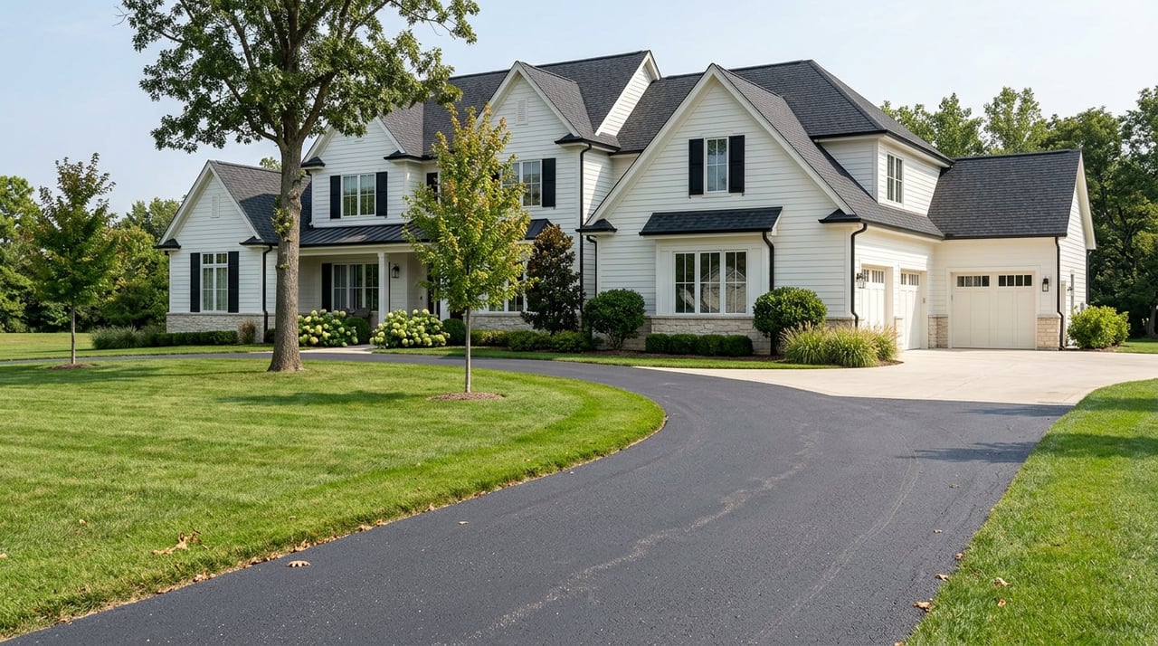
Milton formally promotes large‑lot living. The City defines a large lot as 3 acres or more and is pursuing incentives that help owners keep parcels intact. This matters because it reduces near‑term subdivision pressure, which supports a premium for privacy and equestrian utility. Learn how the City frames large‑lot policy on its Large‑Lot Incentives page.
Here is how acreage typically plays out in value terms:
- Moving from a small suburban lot to roughly one acre often triggers a notable price step because of space, utility, and privacy.
- From 1 to 3 acres, buyers pay for flexibility, accessory buildings, and room for animals or gardens.
- Beyond 3 acres, the total price can still rise, but price per acre often shows diminishing returns unless there is unique development or equestrian value attached.
Programs that shape long‑term value
Milton’s policy tools directly affect what your land is worth today and what it could be worth tomorrow.
Large‑Lot Incentives
The City recognizes 3+ acres as a threshold and offers procedural relief and policy tools that favor keeping parcels whole. This reduces the pool of future small lots and supports long‑run scarcity for estate properties. Review details on the Large‑Lot Incentives page.
Transfer of Development Rights (TDR)
Milton’s TDR program lets owners in preservation areas sell development credits to receiving sites in growth corridors. If a sending parcel qualifies, an owner may monetize development potential without subdividing. That creates two sources of value: the estate itself and the market for its rights. See the City’s summary and current credits on the TDR program page.
Conservation Use Valuation (CUVA)
Georgia’s CUVA program taxes qualifying agricultural or timber parcels based on current use rather than full market value. CUVA can materially lower holding costs for acreage, which supports premium pricing for some buyers but reduces flexibility for others due to the covenant and use requirements. Read the state rules here: CUVA regulations. Confirm parcel status and tax history on the Fulton County assessor site.
Development potential: sewer and street context
Subdivision often depends on infrastructure. Sewer availability, access points, and road classification shape the cost and feasibility of adding lots or units. The Arnold Mill plan specifically notes that sewer is not planned for much of the corridor, which lowers density expectations and preserves rural character. You can confirm this guidance in the Arnold Mill Small Area Plan.
Inside form‑based corridors like Deerfield, infrastructure and code incentives can support more units per acre. That additional yield tends to raise land’s redevelopment value. The takeaway is simple: the same house can be worth more or less depending on whether its land is best used as a private estate or as a future redevelopment site.
How appraisers separate land and improvements
Appraisers isolate site value from improvement value. Lot size, subdivision potential, and program participation like CUVA or TDR factor into the sales comparison approach. Standard practice includes explicit lot‑size adjustments and a statement of site value where it drives the result. For a plain‑English explainer on how lot size affects appraisals, read this overview of lot size and valuation.
Two practical patterns to remember:
- Lot‑size adjustments are common, but they are not linear. The first jump from suburban to estate lots often carries the biggest premium.
- Buyer pools differ. Estate buyers value privacy, barns, and fields. Developers value unit yield. The stronger pool usually sets the market for a given parcel.
A simple Milton due‑diligence checklist
Use this quick workflow to understand any property’s value drivers before you write an offer or set a list price.
- Map and zoning
- Locate the parcel on the City’s zoning and overlay map.
- Note base zoning, overlays, and whether the parcel lies in Crabapple or Deerfield form‑based areas. Cross‑check standards on the zoning and development page.
- Public records and taxes
- Pull the property card for land area, land vs improvement values, exemptions, and tax history at the Fulton County assessor.
- Look for CUVA enrollment or prior breach history. Ask the owner for any CUVA or easement documents.
- Corridor context and infrastructure
- If along Arnold Mill or similar rural corridors, confirm the City’s vision and infrastructure posture in the Arnold Mill Small Area Plan.
- Inside form‑based areas, review the Deerfield or Crabapple code to understand potential unit yield and frontage rules. See Deerfield’s form‑based code and the Crabapple code section.
- Programs that affect value
- Check if the site qualifies as a 3+ acre large lot and consider policy incentives on the City’s Large‑Lot Incentives page.
- See if development rights could be sold through Milton’s TDR program. Ask the City about current credit markets.
- Review CUVA rules and confirm assessor records to understand after‑tax holding costs.
- Pricing approach
- Separate land and improvement value in your analysis, then apply corridor‑specific comps. Use nearby land sales to estimate a per‑acre site rate, and adjust improved sales for lot size where appropriate.
Corridor snapshots: how rules set prices
Crabapple
Crabapple’s form‑based code controls urban form and supports mixed use. The code can tie unit increases to features like structured parking. Builders and investors price land for its design allowances and walkable character here, which leads to a different price structure than estate lots. Review the Crabapple code to understand frontage and placement rules.
Deerfield and Highway 9
The Deerfield regulating plan concentrates higher density and mixed uses near the commercial core. Parcels inside or adjacent to this plan can carry a redevelopment premium due to higher unit yield and infrastructure access. Explore density logic and standards in the Deerfield form‑based code.
Arnold Mill and rural corridors
The Arnold Mill plan aims to preserve rural character while defining a few modest activity nodes. Most of the corridor is AG‑1, and the City does not plan to extend sewer in many stretches. That combination limits density and tends to support estate‑market pricing over subdivision plays. See the adopted guidance in the Arnold Mill Small Area Plan.
Your next step
If you are weighing an offer on acreage, prepping a listing, or comparing two similar homes with different lot sizes, the right strategy starts with zoning, programs, and corridor context. A focused review can uncover value you might otherwise miss, or save you from a costly assumption about subdivision or taxes.
When you want a clear, local plan for pricing, marketing, or purchasing in Milton, connect with the team that has guided families here for generations. Schedule a Personal Consultation with The Chatham Co. and move forward with confidence.
FAQs
What does AG‑1 zoning mean in Milton?
- AG‑1 is a large‑lot residential and agricultural district referenced throughout City plans that often aligns with roughly one‑acre minimum lots in many corridors. Check specific standards on the City’s zoning page.
How do 3+ acre “large lots” affect value?
- Milton defines large lots as 3 acres or more and offers incentives to keep them intact, which reduces future supply and supports a premium among buyers seeking privacy or equestrian utility; see the City’s Large‑Lot Incentives.
What is the TDR program and why does it matter?
- Transfer of Development Rights lets owners in preservation areas sell development credits to growth nodes like Crabapple or Deerfield, creating value from rights without subdividing; details are on the TDR program page.
How does CUVA impact acreage taxes and resale?
- CUVA can lower assessed value for qualifying agricultural or timber parcels, which reduces annual taxes but comes with a covenant that limits flexibility; review the state CUVA rules and confirm parcel status at the Fulton County assessor.
How can I tell if land can be subdivided?
- Start with base zoning and overlays, confirm sewer and access constraints, and read corridor plans like Arnold Mill; then verify numeric standards on the zoning page and consult the relevant form‑based code if inside Crabapple or Deerfield.
Why do appraisers adjust for lot size differently at different scales?
- Lot‑size effects are not linear, so going from suburban to estate lots often yields a larger adjustment than adding more acres beyond that; see a plain‑English overview of lot size and valuation.