Are you searching for the side of Milton that feels a little quieter, greener, and more rooted in the land? If you are drawn to winding roads, pasture views, horse fencing, and homes that sit back from the street, Milton offers a lifestyle where the drive home can feel like part of the reward. This guide will show you how Milton’s country-lane neighborhoods and scenic drives come together, what you can expect along key corridors, and how that setting shapes the local housing experience. Let’s dive in.
Why Milton Feels So Distinct
Milton has made rural character a central part of its identity. City planning materials note that more than 90% of the land within Milton is low- or very low-density residential, with growth patterns designed to protect the city’s broader landscape.
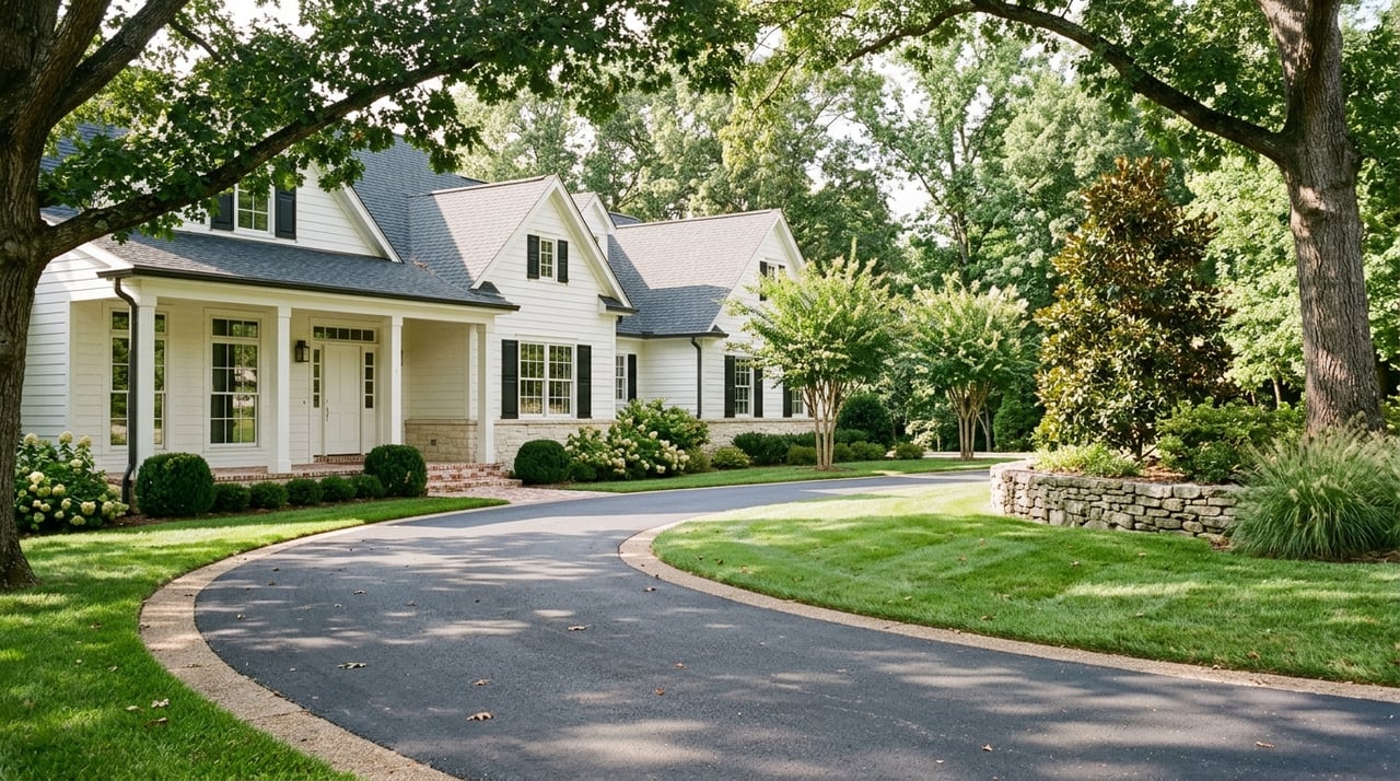
That planning approach matters when you are exploring the area by car. Instead of one single scenic pocket, you will find a network of roads where tree-lined frontages, large lots, pasture views, and deep setbacks help create a consistent sense of place.
The city also identifies several rural viewsheds and gateways that help preserve those familiar Milton scenes. Along roads like Arnold Mill Road, Birmingham Highway, Crabapple Road, Cogburn Road, Hopewell Road, Broadwell Road, and Bethany Road, the visual experience is treated as part of what makes Milton feel like Milton.
What “Country-Lane” Living Looks Like
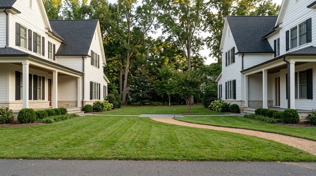
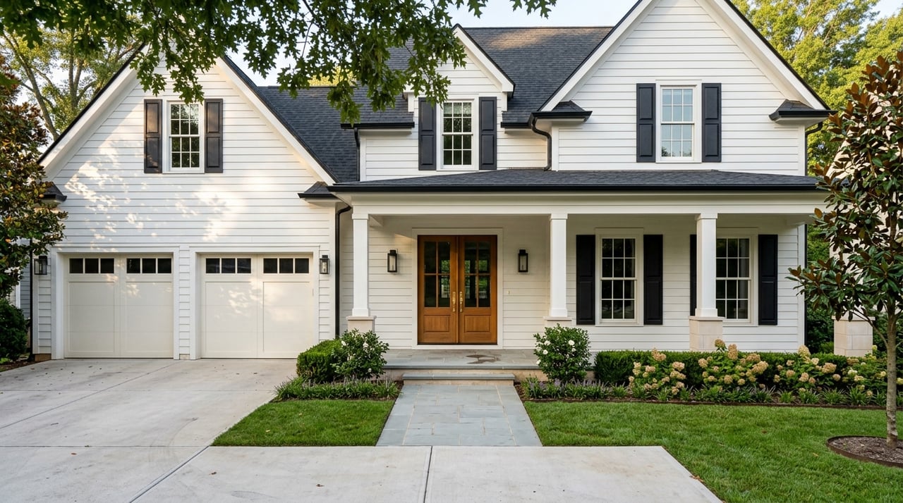
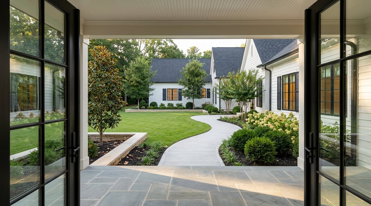
In practical terms, country-lane living in Milton often means more space between homes, a stronger connection to the landscape, and roads that reveal rolling lawns, wooded edges, and horse properties along the way. It is a setting that feels open without being remote.
The housing pattern behind that look is largely tied to large-lot residential land and AG-1 agricultural parcels. In Milton’s AG-1 district, minimum lot sizes are 1 acre on paved roads and 3 acres on unpaved roads, which helps explain why so many scenic stretches feel spacious and low density.
You also see that rural framework blend into other settings. A drive can shift from custom homes and horse farms to wooded homes on deep setbacks, then into the more village-style environment around Crabapple.
Scenic Drive Loop One: Crabapple and Birmingham Highway
If you want a scenic drive that mixes small-town energy with classic Milton character, start around Crabapple Road, Birmingham Highway, and Mayfield Road. This area offers a more connected, village-style experience while still sitting within the city’s larger rural setting.
Crabapple serves as one of Milton’s central community nodes. It is home to City Hall, the library, schools, major events, and Mayfield Park, a five-acre park with a pond and trails in downtown Crabapple.
This corridor is also useful if you want to understand Milton’s range of housing environments. The Crabapple area is where walkability, mixed use, and a broader range of housing types are encouraged, making it different from the large-lot stretches that define much of the city.
What You’ll Notice on This Route
As you drive through Crabapple and along SR 372, you will likely notice a more active rhythm. There is a blend of civic spaces, local activity, and curated infill that creates a village feel without losing touch with the surrounding landscape.
This route can be especially appealing if you want both scenery and convenience. You get a setting that still feels distinctly Milton, but with easier access to everyday stops and a more connected streetscape.
A Realistic Note About Traffic
This is one of the prettiest and most functional corridors in Milton, but it can also be one of the busiest. The city specifically notes weekday congestion around SR 372 near Milton High, Northwestern Middle, and Crabapple Crossing Elementary, especially during school commute times.
That does not take away from the charm. It simply means your experience on this route may feel very different on a quiet mid-morning than it does during the weekday rush.
Scenic Drive Loop Two: Birmingham Crossroads and Parkland
For a route that combines scenic roads with outdoor access, Birmingham Highway, Hickory Flat Road, and Birmingham Road offer a strong second loop. This area gives you a feel for one of Milton’s major gateways while keeping you close to one of the city’s best natural anchors.
Birmingham Crossroads is identified by the city as a master-planned area near the Birmingham Highway and Birmingham Road-Hickory Flat Road intersection. At the same time, the broader corridor remains important to Milton’s daily flow, which is why the city has active improvement work on the stretch from Heritage Walk to north of Milton High.
What makes this drive stand out is the mix of movement and landscape. You are not just passing homes. You are moving through a corridor shaped by transportation, open space, and access to trails.
Birmingham Park as a Scenic Anchor
Birmingham Park gives this route much of its outdoor identity. The park includes nine natural-surface trails used by hikers and equestrians, which ties directly into Milton’s long-standing horse and trail culture.
If you want to understand why Milton feels different from many suburban markets, this is a good place to stop. The combination of wooded scenery, river-edge habitat, and equestrian use reflects a landscape that is still actively connected to the way people live outdoors.
Scenic Drive Loop Three: Lackey, Arnold Mill, Freemanville, and Dinsmore
If your idea of scenic driving leans more pastoral and less busy, the west and southwest side roads may be the best fit. A loop through Lackey Road, Arnold Mill Road, Freemanville Road, and Dinsmore Road offers some of Milton’s strongest country-lane character.
This is where the road itself becomes part of the experience. You may pass gravel segments, pasture edges, meadow-like greenspace, and homes that feel tucked into the land rather than placed tightly along the street.
For many buyers, this is the side of Milton that defines the dream. It feels private and grounded, but still connected to the larger North Fulton area.
Lakhapani Preserve and Rural Texture
Lakhapani Preserve sits off rural gravel Lackey Road and adds a very specific kind of scenic appeal. The preserve includes a 1.5-mile trail past creeks, Wolff Lake, and pasture edges, which reinforces the feeling that you are moving through a landscape shaped by land and water, not just development.
This stretch is especially helpful if you want to picture the everyday setting around large-lot homes. It captures the slower, more pastoral side of Milton in a way that feels immediate and authentic.
Freemanville and Dinsmore Stops
The Freemanville/Birmingham greenspace is described by the city as pasture-like meadowland with Milton-style fencing that suits riding. That detail matters because it reflects how closely Milton’s open spaces connect with its equestrian identity.
On Dinsmore Road, Milton City Park and Preserve combines 130 passive acres with 7 active acres. The preserve includes a 2.5-mile passive loop, giving you another way to pair a scenic drive with time outdoors.
Milton’s Equestrian Culture Is Part of the View
In some places, horses are an occasional feature. In Milton, they are part of the everyday landscape. The city’s Equestrian Committee works to protect the interests of horse owners and enthusiasts, and Milton’s 2024 horse-farm census found more than 200 active horse farms across the city.
That spread is important because it means equestrian character is not limited to one small district. Horse farms, fencing, and pasture views show up across Milton, helping define the visual rhythm of many country-lane neighborhoods.
For buyers exploring the area, this can shape both lifestyle and expectations. You are not just choosing a home. You are choosing a setting where open views, trails, and agricultural touches remain part of the city’s identity.
Parks That Strengthen the Scenic Lifestyle
Milton’s scenic appeal is not limited to roadside views. The city’s parks and preserves help turn that scenery into something you can actively enjoy.
Several local stops stand out for buyers and sellers who want to understand how Milton’s outdoor lifestyle supports property appeal and daily living. These include:
- Bell Memorial Park and Mark Law Arboretum for active-use space, trails, and a tree-focused arboretum
- Providence Park for wooded acreage, a lake, a fishing pier, and a paved ADA loop
- Birmingham Park for natural-surface trails and equestrian use
- Milton City Park and Preserve for passive acreage and walking loops
- Mayfield Park for a compact downtown Crabapple pond-and-trail stop
- Freemanville/Birmingham greenspace for pasture-like scenery and community gathering space
These places support a simple idea that matters in real estate. In Milton, the landscape is not just a backdrop. It is part of how people spend time, move through the city, and connect with the community.
How Scenic Corridors Shape Home Search Decisions
If you are buying in Milton, scenic roads can tell you a great deal about the lifestyle tied to different parts of the market. A route through west Milton may point you toward estate lots, horse properties, or homes with more separation from neighbors.
A drive through Crabapple may suggest a different fit if you want a more connected setting with easier access to civic spaces and a walkable village center. Neither option is better in a universal sense. The right choice depends on how you want to live day to day.
This is why local guidance matters. A scenic drive is not only about beauty. It can also reveal traffic patterns, lot sizes, surrounding land use, and how a home’s setting may feel at different times of day.
Why Scenic Setting Matters for Sellers Too
If you are preparing to sell in Milton, your surrounding corridor can be part of your home’s story. Buyers often respond strongly to approach, frontage, setbacks, mature trees, pasture views, and the feeling they get before they even step inside.
That is especially true in a market known for estate lots, custom homes, and high-value single-family properties. A well-positioned marketing plan should highlight not just the house, but the setting that supports it.
For sellers in these areas, presentation matters. The way your property is photographed, staged, and introduced should reflect the rural elegance and everyday lifestyle that make Milton so appealing.
Seeing Milton Through a Local Lens
Milton is not scenic by accident. Its roads, viewsheds, large-lot patterns, horse farms, and preserved greenspaces all work together to create a setting that feels intentional and enduring.
If you are exploring where to buy, build, or sell, taking time to drive these corridors can give you a clearer feel for what each part of Milton offers. From the village energy of Crabapple to the quieter roads near Lackey and Dinsmore, the landscape tells an important story.
When you want help reading that story through the lens of home values, lot character, and day-to-day livability, local experience makes a difference. For personalized guidance in Milton and across North Fulton, connect with The Chatham Co..
FAQs
What makes Milton, Georgia feel different from other North Fulton communities?
- Milton’s identity is strongly shaped by low-density residential land, large lots, rural viewsheds, horse farms, and protected scenic corridors.
Which roads are best for scenic drives in Milton?
- Strong options include Crabapple Road, Birmingham Highway, Mayfield Road, Arnold Mill Road, Lackey Road, Freemanville Road, and Dinsmore Road.
What should you expect in Milton’s country-lane neighborhoods?
- You can expect larger lots, deeper setbacks, wooded edges, pasture views, horse fencing, and a quieter road experience in many areas.
Are there equestrian features throughout Milton?
- Yes. Milton’s 2024 horse-farm census found more than 200 active horse farms across the city, so equestrian character is spread throughout Milton rather than clustered in one area.
Which parks support Milton’s scenic outdoor lifestyle?
- Key parks and preserves include Birmingham Park, Milton City Park and Preserve, Providence Park, Mayfield Park, Bell Memorial Park and Mark Law Arboretum, and the Freemanville/Birmingham greenspace.
Is Crabapple more walkable than other parts of Milton?
- Yes. City materials describe Crabapple as a village-style node where walkability, mixed use, and a broader range of housing types are encouraged.
Do Milton’s scenic roads ever get busy?
- Yes. Some of the most attractive corridors, especially along SR 372 near local schools, can see weekday congestion during school commute times.